Follow us @


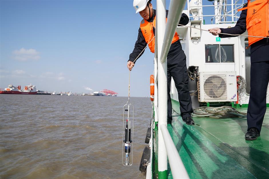
A surveyor uses a measuring device to collect water-depth data.
Experts with the city’s maritime safety navigation administration center have begun surveying and mapping key water channels in Shanghai Port to safeguard water traffic.
The new mapping initiative is centered around updating 61 charts, including Yangshan Port, Huangpu River, Baoshan waterways, Waigaoqiao and North Port.
Single- and multi-beam measuring equipment is used on survey vessels to accurately collect underwater data.
Collected water-depth data will be added to physical and digital charts to support the management of ports and channels.
 Ti Gong
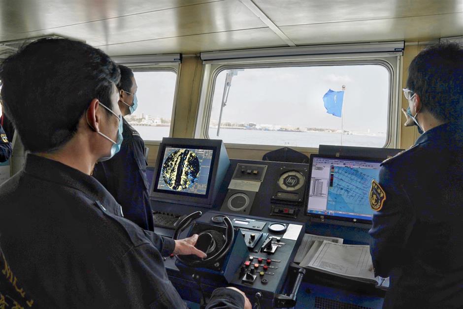
An operator of a survey vessel checks navigation.